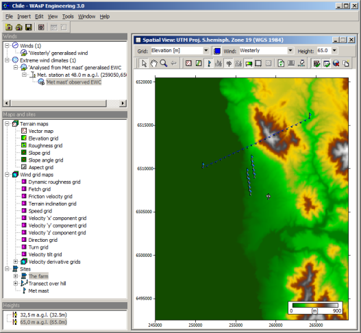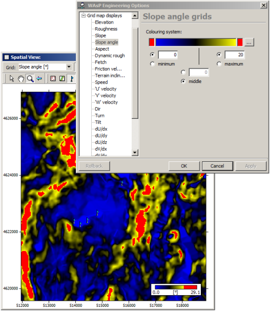
Spatial view
The spatial view shows terrain data or flow model results for a specific reference wind and height above terrain. It is possible to zoom and pan the window, adjust the color range, copy graphics, and export the grid data in Surfer format. The maps can be used to identify areas of adverse flow conditions.